2026Mobile app
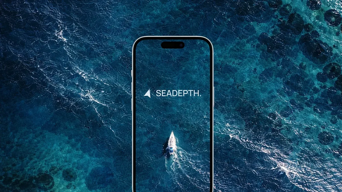
SEADEPTH
Marine navigation for offshore anglers and boat owners: bathymetry maps, drift analysis and waypoints.
- Challenge
- Anglers rely on precise underwater terrain data, but existing marine apps overload the map and make creating waypoints too complex.
- My role
- Led the full development from concept to release on the App Store and Google Play: cross-platform Flutter app, subscriptions, backend, offline charts and bathymetric data rendering.
- Stack
- Flutter, Firebase, RevenueCat
“Michael delivered a production-ready, scalable application.”