2026Mobile app
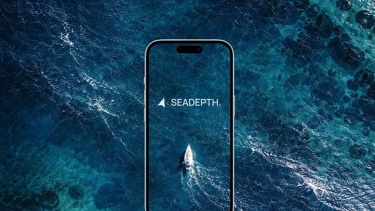
SEADEPTH
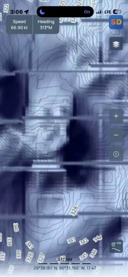
High-resolution bathymetry with shaded relief for offshore anglers: smart depth contours, overlay layers, drift testing and GPX waypoints.
- Challenge
- Anglers rely on precise underwater terrain, but ordinary marine charts flatten the bottom and bury the detail that decides where to fish.
- My role
- Led the full development from concept to release on the App Store and Google Play: cross-platform Flutter app, offline charts, contour and overlay rendering, GPX waypoints, subscriptions and backend.
- Stack
- Flutter, Firebase, RevenueCat
“Michael delivered a production-ready, scalable application.”